
.JPG)
.jpg)


2004 Photos and Maps
Map Credit:
Credit for all maps goes to Ken Roberts, who produced a wonderful CD set that Darrell used extensively in his planning. His CDs are known as Pacific Crest Trail CD-Rom A Photographic Topographic Journey. He also has authored his own web site at: www.morethanamile.com Our thanks go to Ken for doing such a great job.
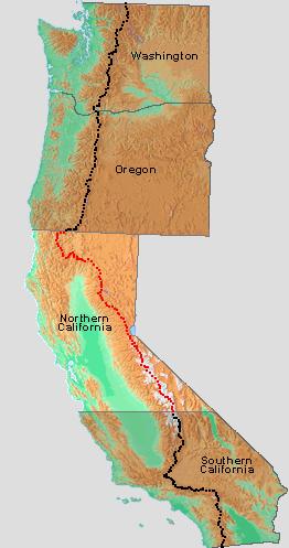
Here's a map showing how the PCT goes from Mexico to Canada. The light portion in the middle represents Northern California. That's what Darrell is hiking now.
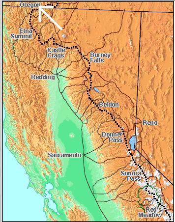
Detail of the Northern CA section. Darrell will resume where he left off in May, at Kennedy Meadows south of Red's Meadow. The white arrow shows where he'll stop in October.
A map of the PCT in Southern CA, the route that Darrell hiked this spring. The white arrow at the bottom points to Campo, CA, where he began, at the border of Mexico. He got off the trail at Kennedy Meadows.
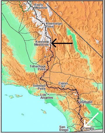
Photo taken in late August:
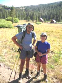
PCT enthusiasts are incredibly thoughtful folks. Here's a picture of Darrell with a woman he met on the trail, taken by her partner (husband?). Their names are Helen and Richard. They emailed this photo for me to have and share. Darrell looks pretty happy, doesn't he? And what a beautiful day... Thank you, Helen and Richard!
Photos Taken In August:

Here's a shot of Darrell at the "Devils Postpile". These are basalt columns, much like the Giant's Causeway in Northern Ireland. If you are curious about them, check out this link: http://www.nps.gov/depo/

One of the places that Darrell got to rest on the trail, the Vermillion Valley Resort, provides this ferry for its visitors. This is the only way to get there. As you can see, it's popular with hikers.

The small plaque next to the door of this hut reads: To John Muir Lover of "the range of light" This shelter was erected through the generosity of George Frederick Schwarz 1931 Sierra Club US Forest Service.

Darrell's tent. As you can see, he uses one of his walking poles as a tent pole. Double duty for his gear means less to carry!


From the 1st 80 miles of the Sierras...

After all the desert of Southern California, I know that Darrell is joyous for these mountain views and WATER!!!


Here he is at the summit of Mt. Whitney


The official PCT trailhead marker.
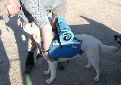
Getting Sitka prepared.
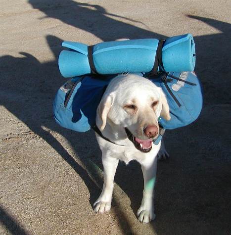
Now he's ready!
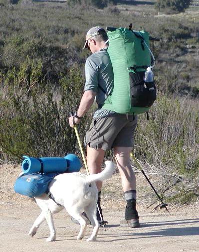
And they're off!
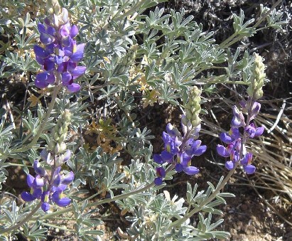
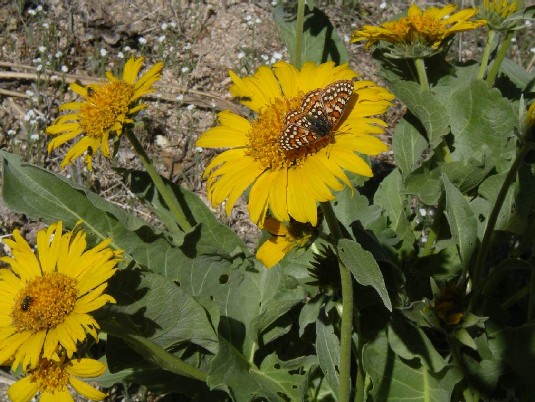
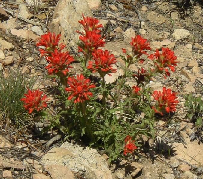
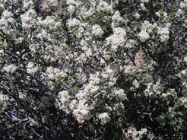
Spring flowers...
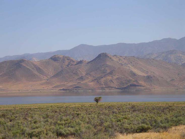
Lone Tree by the Water's edge: Lake Isabella near Walker Pass & Hwy 58
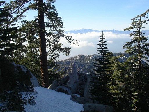
Clouds through the trees: coming out of the San Jacinto Mtns, looking towards the San Gabriel Mtns
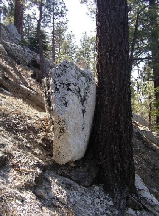
The Tree Hugger
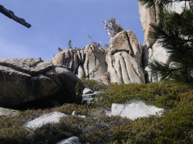
Rocks and Sky
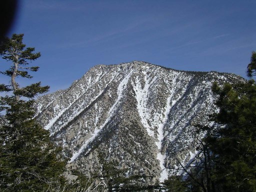
Looking Back at a view of San Jacinto peak